
🌀 Typhoon Dolphin is heading toward the Daitō and Ryukyu Islands
Descrição
🌀 Typhoon Dolphin is heading toward the Daitō and Ryukyu Islands
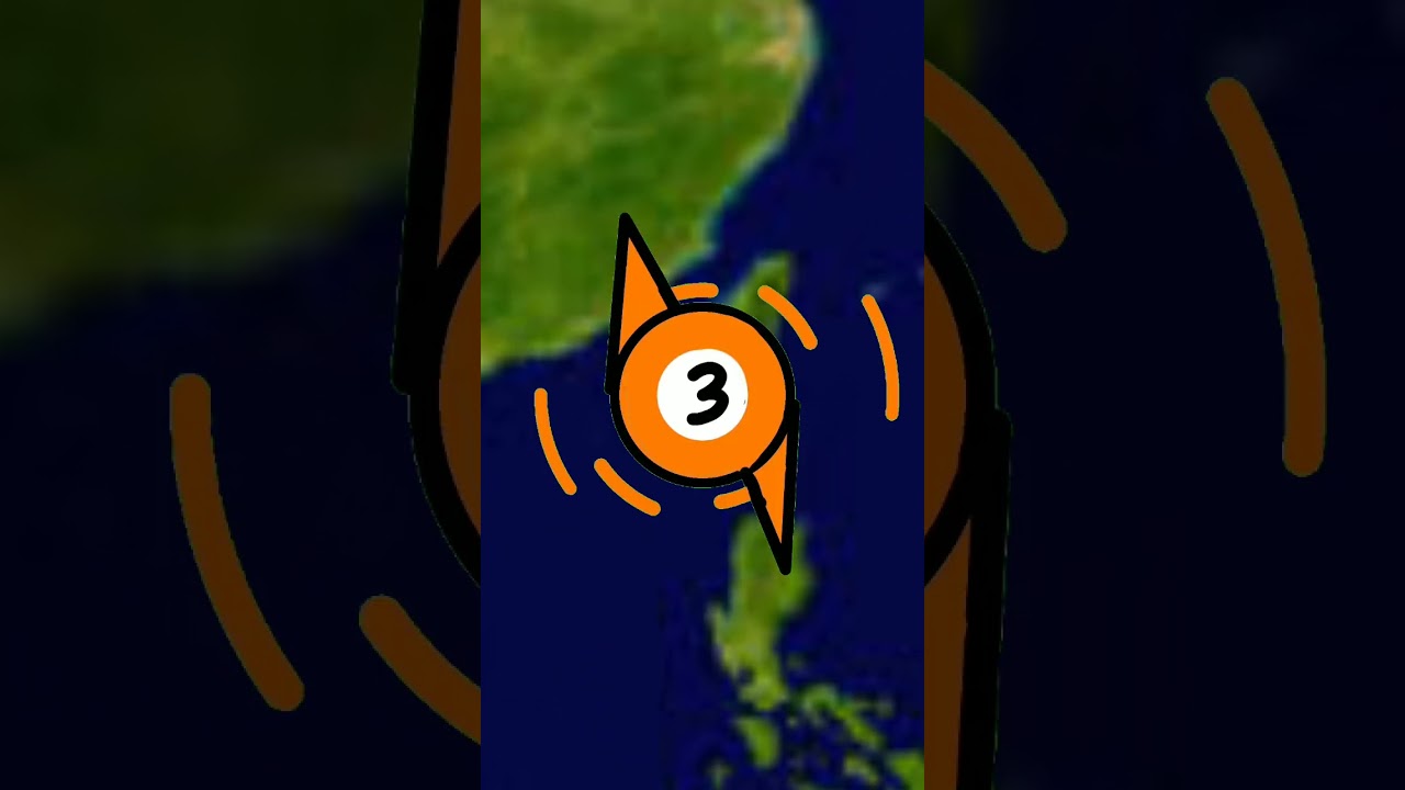
Typhoon Dolphin is moving westward toward Japan, with its outer cloud bands already affecting the Daitō Islands. During its week-long journey, it has reached super typhoon strength several times.
As of 18:00 JST on Wednesday, 5 August 2026:
Location: approximately 540 km east of Minamidaitō Island
Intensity: sustained winds of around 175 km/h, with gusts up to 210 km/h
Movement: westward at approximately 17 km/h
Dolphin is expected to approach the Daitō Islands on Thursday afternoon, then slow down and reach Okinawa on Friday morning, with dangerous conditions there possibly continuing into Saturday.
The forecast track becomes more uncertain over the South China Sea. Some models indicate landfall on China’s coast near Wenzhou on Sunday, while others suggest a more northwesterly track toward Taizhou.
Threats to the Daitō and Ryukyu Islands on Thursday and Friday:
Winds:
• Kitadaitō and Minamidaitō: up to 100 km/h, with gusts up to 150 km/h
• Okinawa: up to 140 km/h, with gusts up to 210 km/h
• Amami: up to 110 km/h, with gusts up to 160 km/h
Rainfall: 100–200 mm, locally around 350 mm
Waves: up to 10 m around the Daitō Islands, 10 m around Okinawa, and 11 m around the Amami Islands
⚠️ Please follow the latest forecasts and warnings from local meteorological services.
Typhoon Dolphin is moving westward toward Japan, with its outer cloud bands already affecting the Daitō Islands. During its week-long journey, it has reached super typhoon strength several times.
As of 18:00 JST on Wednesday, 5 August 2026:
Location: approximately 540 km east of Minamidaitō Island
Intensity: sustained winds of around 175 km/h, with gusts up to 210 km/h
Movement: westward at approximately 17 km/h
Dolphin is expected to approach the Daitō Islands on Thursday afternoon, then slow down and reach Okinawa on Friday morning, with dangerous conditions there possibly continuing into Saturday.
The forecast track becomes more uncertain over the South China Sea. Some models indicate landfall on China’s coast near Wenzhou on Sunday, while others suggest a more northwesterly track toward Taizhou.
Threats to the Daitō and Ryukyu Islands on Thursday and Friday:
Winds:
• Kitadaitō and Minamidaitō: up to 100 km/h, with gusts up to 150 km/h
• Okinawa: up to 140 km/h, with gusts up to 210 km/h
• Amami: up to 110 km/h, with gusts up to 160 km/h
Rainfall: 100–200 mm, locally around 350 mm
Waves: up to 10 m around the Daitō Islands, 10 m around Okinawa, and 11 m around the Amami Islands
⚠️ Please follow the latest forecasts and warnings from local meteorological services.
Palavra-chave: meteorologia ilha de moçambique






























Comentários da comunidade
@superhyperfragilisticexpialido YouTube · 05/08/2026 · 👍 2
Delilah (Windy) wheres the video about Tropical Storm クジラ
@Zevinstudio19 YouTube · 07/08/2026 · 👍 1
Hey windy can you do Tropical Storm Kujira (Maymay)
@anis78-g2c YouTube · 06/08/2026 · 👍 2
Its good
@MaryCrezCagado-n6f YouTube · 08/08/2026 · 👍 3
Yeah do it pls
@BettyAlegre-b5s2i YouTube · 12/08/2026 · 👍 2
😂
@Judewenceslao YouTube · 06/08/2026
NO!!!