Tropical Cyclone Dineo
Descrição
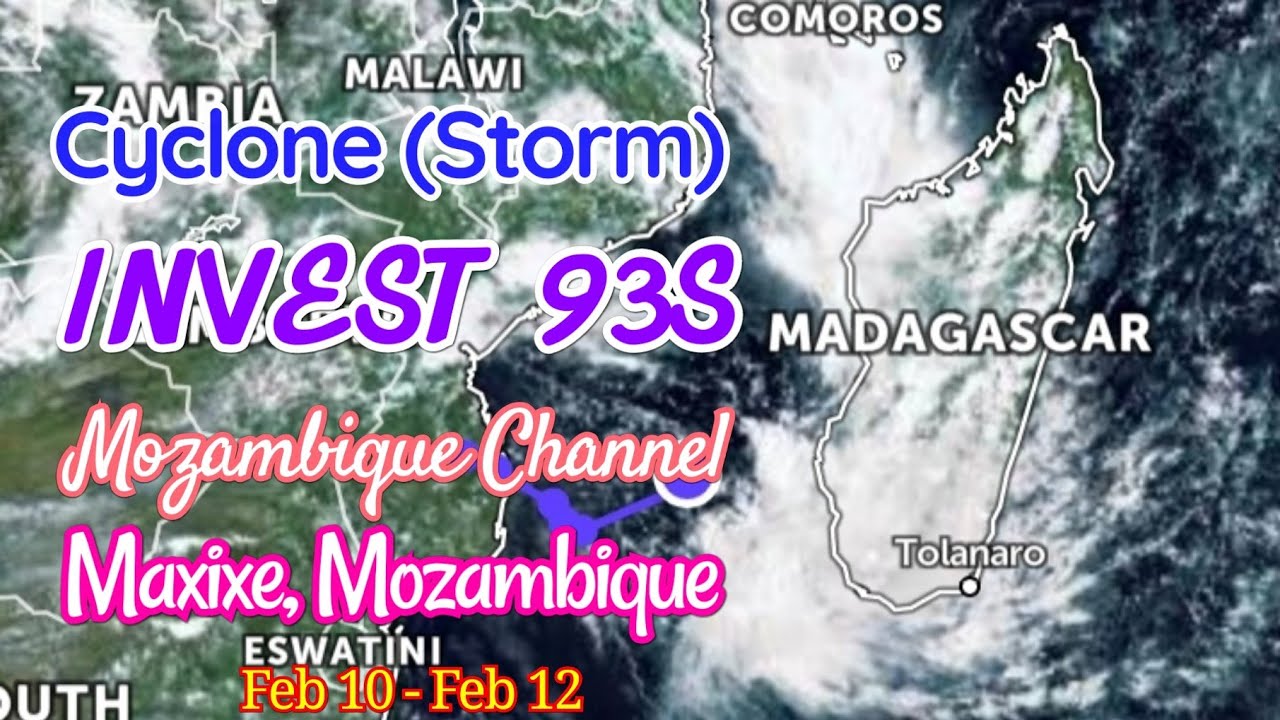
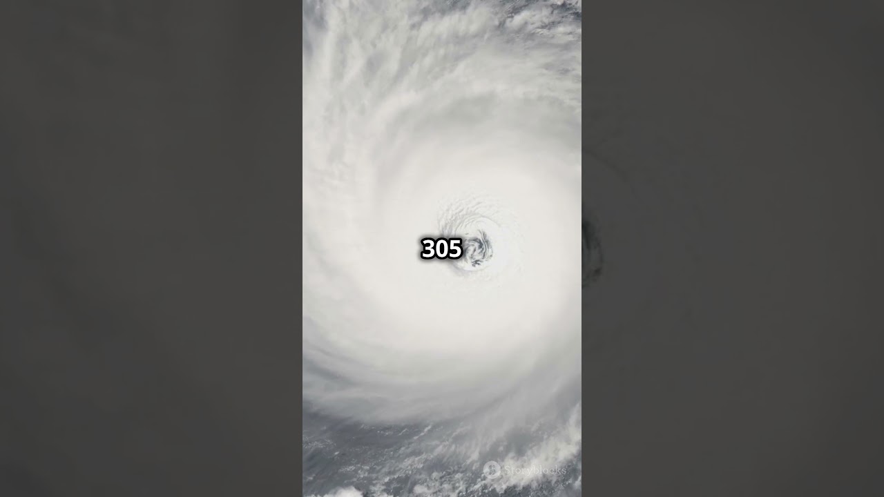
Meteosat-8 captured this visible imagery of Tropical Cyclone Dineo spinning along the east coast of Africa near Mozambique on February 15, 2017.
According to the Joint Typhoon Warning Center, Dineo is approximately 235 nautical miles west-southwest of Europa Island and has tracked southwestward at nearly 14 miles per hour. The storm is expected to make landfall over southern Mozambique within the next 6 hours or so. Dineo has maximum sustained winds of 80 miles per hour, with gusts up to 97 mph.
One of EUMETSAT's (aka: the European Organization for the Exploitation of Meteorological Satellites ) geostationary satellites, Meteosat-8 orbits 22,400 miles above the equator and acquires imagery of Europe and Africa. The primary role of the Meteosat satellites is to help detect and forecast rapidly developing high impact weather, such as cyclones, thunderstorms or fog, up to six hours ahead.
Source: NOAA Satellite and Information Service
Palavra-chave: meteorologia moz