TROPICAL CYCLONE DINEO update
Descrição
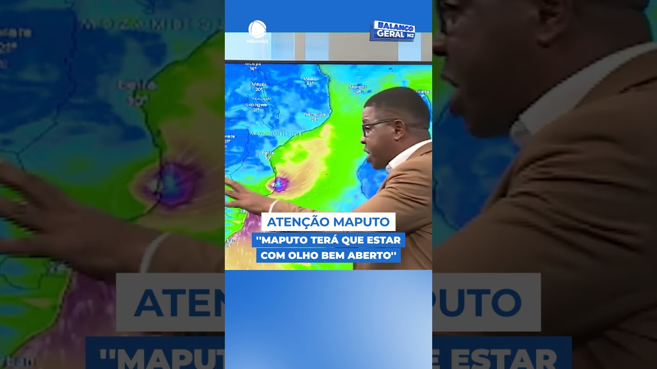
eather Update, Storm Report SA: In terms of the direction Dineo is moving has not change much since this morning. It will now move over SA a little bit more to the north. The winds are significantly stronger compared to this morning. Maximum sustained winds are now at 102 km/h, pressure hovering around 980 hpa and Dineo has a huge rain rate of 132 mm/h according to NASA's Hurricane Web page.
Dineo is crawling SW at 5,5 km/h. Here is NASA's Hurricane Web page full statement: (Remember these systems are extremely hard to predict so this forecast is subject to change). On Feb. 14 at 10 a.m. EST (1500 UTC), Dineo had maximum sustained winds near 63 mph (55 knots/102 kph).
Dineo's winds are expected to reach hurricane strength later today, February 14, and peak near 75 knots by 7 a.m. EST (1200 UTC) on February 15. Dineo was located about 78 nautical miles west of Europa Island near 22.5 degrees south latitude and 38.6 degrees east longitude. Dineo was crawling to the southwest at 3.4 mph (3 knots/5.5 kph).
Palavra-chave: meteorologia moz