
North Pacific Storm Explodes Into a "Bomb Cyclone"
Descrição
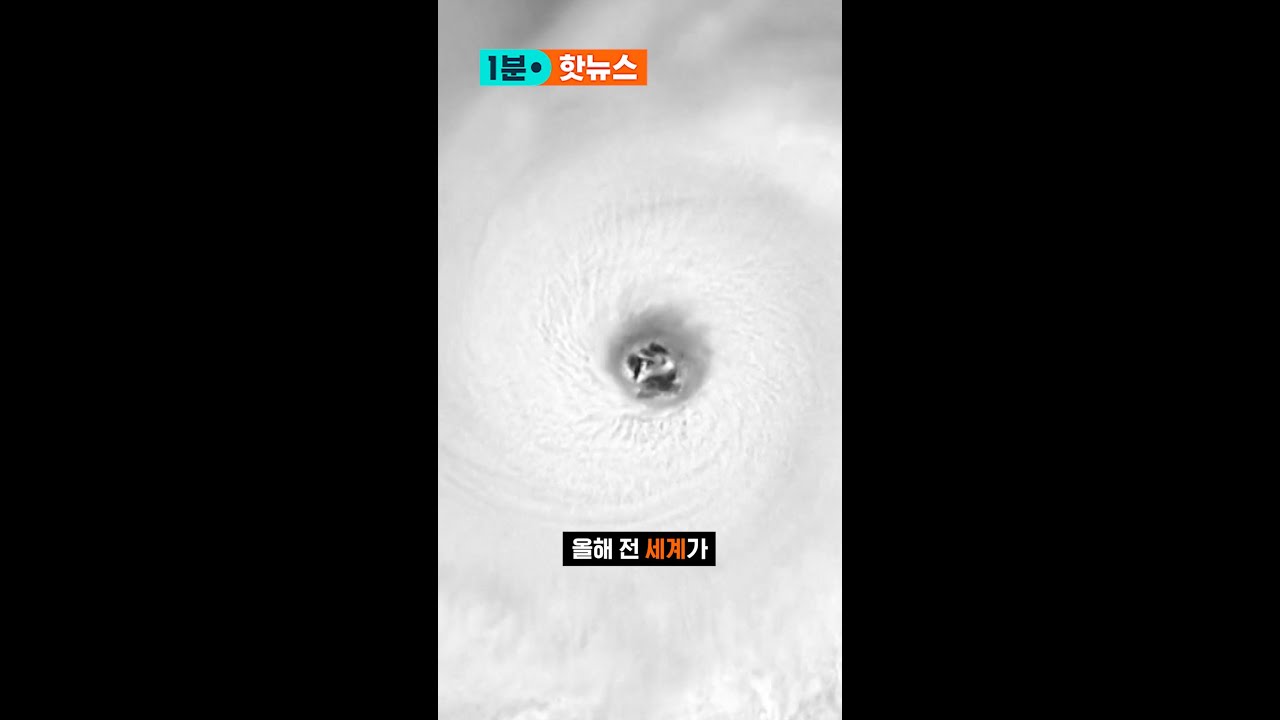
This video shows what may wind up ranking as the strongest storms ever observed in the Northern Pacific. The video consists of infrared image data acquired by the GOES-17 satellite on New Year's Eve, 2020.
This particular view is known as "Air Mass RGB." It is used by meteorologists to diagnose the environment surrounding large-scale weather systems such as this cyclone. The false color scheme helps meteorologists see detailed temperature and moisture characteristics of air masses. (It also happens to be very beautiful.)
Within a 24-hour time period, the central pressure in the storm tumbled to to 921 millibars, constituting an astonishingly rapid and intense 51-millibar drop. That qualifies the storm for the moniker of “bomb cyclone.”
According to the National Weather Service's Ocean Prediction Center, the central pressure of 921 millibars makes it "one of the strongest storms to ever impact the North Pacific. Winds are expected to reach 95 kts near the low center!" (https://twitter.com/NWSOPC/status/1344674595769466883) Ninety-five knots is about 110 miles per hour.
During the time span covered by this animation, the storm likely became the strongest on record ever to hit Alaska.
Satellite imagery credit: RAMMB/CIRA GOES-16/17 Loop of the Day — http://rammb.cira.colostate.edu/ramsdis/online/loop_of_the_day/
This particular view is known as "Air Mass RGB." It is used by meteorologists to diagnose the environment surrounding large-scale weather systems such as this cyclone. The false color scheme helps meteorologists see detailed temperature and moisture characteristics of air masses. (It also happens to be very beautiful.)
Within a 24-hour time period, the central pressure in the storm tumbled to to 921 millibars, constituting an astonishingly rapid and intense 51-millibar drop. That qualifies the storm for the moniker of “bomb cyclone.”
According to the National Weather Service's Ocean Prediction Center, the central pressure of 921 millibars makes it "one of the strongest storms to ever impact the North Pacific. Winds are expected to reach 95 kts near the low center!" (https://twitter.com/NWSOPC/status/1344674595769466883) Ninety-five knots is about 110 miles per hour.
During the time span covered by this animation, the storm likely became the strongest on record ever to hit Alaska.
Satellite imagery credit: RAMMB/CIRA GOES-16/17 Loop of the Day — http://rammb.cira.colostate.edu/ramsdis/online/loop_of_the_day/
Palavra-chave: cyclone chalane


![27 [O MAHABHARATA] O LIVRO DA FLORESTA - PARTE 05 (AUDIOLIVRO EM PORTUGUES)](https://i.ytimg.com/vi/PMq5Zip0_U4/maxresdefault.jpg)
































Comentários da comunidade
@scottc3165 YouTube · 04/01/2022
That was amazing. Here in the Northern Sierra it was like Siberia for a while.
@ChunkyChest YouTube · 01/01/2021
😳