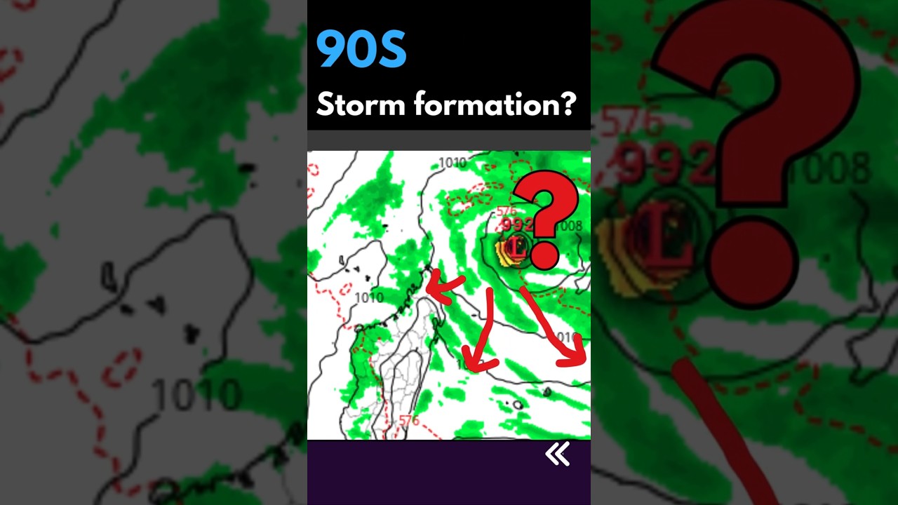
Eloise 18 Jan 2021 #1
Descrição
Tropical Storm Eloise 2021
Last Modified: 09:00 January 18, 2021 UTC
Eloise is located 715 km (386 nautical miles) north of Port Louis, Mauritius, and has tracked westward at 28 km/h (15 knots) over the past 6 hours.
Satellite imagery reveals a partially-exposed low-level circulation center (LLCC) obscured under the southeastern edge of persistent deep convection.
An MHS composite microwave image supports the initial position with fair confidence and shows shallow banding wrapping around a broad LLCC with a curved deep convective band displaced over the west and northwest quadrants.
Upper-level analysis indicates a favorable environment with fair poleward outflow, vigorous equatorward outflow, low to moderate vertical wind shear and warm sea surface temperatures (29-30°C).
Eloise is forecast to track west-southwestward through the forecast period along the northwestern flank of a deep-layered subtropical ridge entrenched to the southeast and south.
With the exception of AFUM, numerical model guidance is in good agreement with a 130-170 nautical miles spread in solutions over the next 4 days to the next 5 days.
Consequently, confidence in the JTWC forecast track remains high. Eloise is forecast to steadily intensify to a peak of 110 km/h (60 knots) in 36 hours as it approaches the northeast coast of Madagascar.
The system will weaken rapidly after making landfall in around 2 days, and will dissipate over the mountainous terrain of Madagascar in 3 days.
After 3 days, Eloise is forecast to re-intensify as it emerges over the Mozambique Channel.
Maximum significant wave height at 18/06:00 UTC is 16 feet (4.9 meters).
Information provided by the Joint Typhoon Warning Center (JTWC).
Source: zoomearth
Palavra-chave: meteorologia quelimane