Cyclone Freddy to make 2nd landfall in Mozambique
Descrição
(11 Mar 2023)
RESTRICTION SUMMARY:
ASSOCIATED PRESS
Quelimane, Mozambique - 11 March 2023
1. Driving shot of strong winds blowing trees
2. Tree blown over by winds
3. Wide man on bicycle cycling past uprooted tree
4. SOUNDBITE (Portuguese) Carlos Fernando Luís Peixe, Quelimane resident:
"I'm trying to protect my house with sandbags and tarps so I don't have aggravating situations. The storm is just starting, we don't know what will happen in about two hours."
5. Wide strong winds blowing tree branches
6. Wide vehicle on the streets
7. SOUNDBITE (Portuguese) Abibo Siade, Quelimane resident:
"The situation is really chaotic. Lots of destruction, cutting down of trees, also fallen houses. So I have to find ways to cover them with zinc sheets or even find a way to try to survive."
8. Various strong winds blowing vegetation by the ocean
STORYLINE:
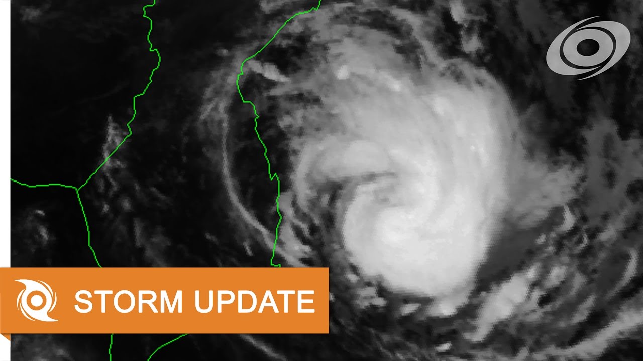
Record-breaking Cyclone Freddy will make its second landfall in Mozambique on Sunday morning as an “intense tropical cyclone”.
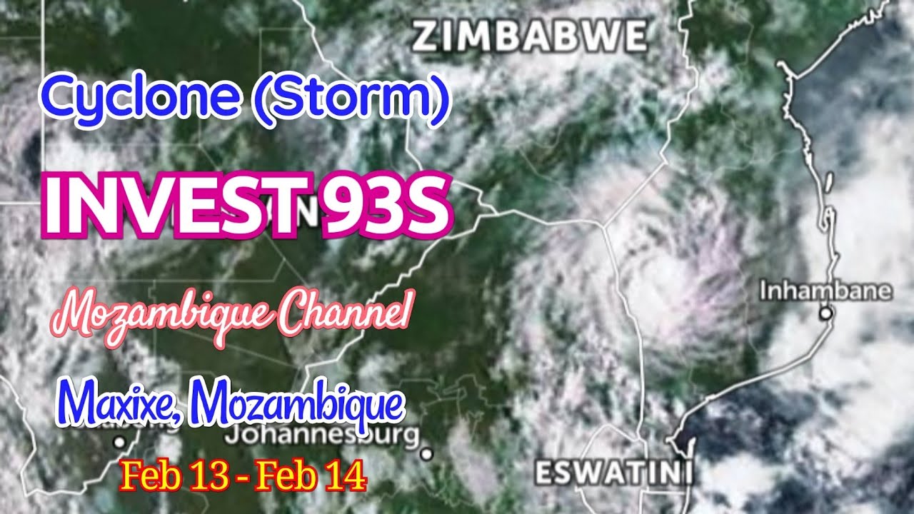
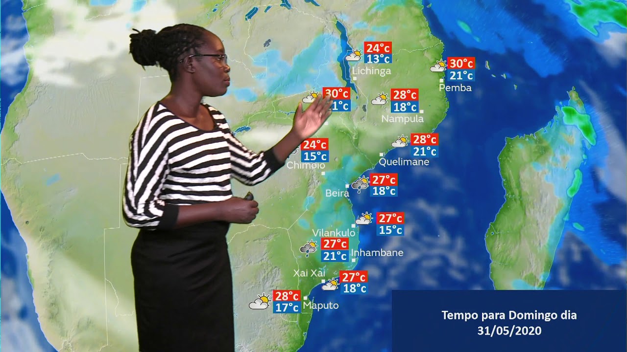
According to the UN weather agency, Freddy’s powerful energy which equals “an average Atlantic hurricane season” is projected to hammer through Quelimane, the capital of the Mozambican province of Zambezia accompanied by “dangerous winds, storm surge and extreme rain.”
The regional tropical cyclone monitoring centre in Reunion, said today that after a slow progression last night Freddy “intensified slightly this morning (Saturday) and is just over 60 kilometres (37 miles) southeast of Quelimane” with a strengthened “area of influence” on Mozambique’s coastal regions and hinterlands.
It is expected to make landfall late night Saturday “or even Sunday morning” with maximum wind speeds at sea measuring 150 kilometres an hour (93 miles per hour) and sea gusts averaging 215 kilometres per hour (133 miles per hour)' hourly accompanied by “destructive or even devastating winds, very dangerous seas and heavy rains that could lead to landslides, are very likely near the landing zone.”
The Reunion cyclone observation centre has warned that weather conditions in Zambezia and Sofala will continue to “deteriorate in the coming hours” as Freddy approaches land.
The cyclone forecast indicates that Freddy will dump heavy rain in inland Mozambique all the way to its western neighbor of Malawi. Freddy “will continue to generate heavy rains inland, not only over Mozambique but also over southern Malawi” the Reunion weather center warned.
The UN and the European Union led Global Disaster Alert and Coordination System, has already issued a red alert estimating maximum storm surge of 0.6 metres (almost two feet) and wind speeds gusting to 250 kilometers per hour (155 mph) on Freddy. The disaster alert cooperative is projecting high humanitarian impact likely to affect some 2.3 million people.
Fears of devastating impact have been raised as this second punch by Freddy is showering a low-lying vast land teeming with many rivers and “almost all of them have no dam.” Salomao Bandeira, professor of biological sciences at Mozambique’s Universidade Eduardo Mondlane said.
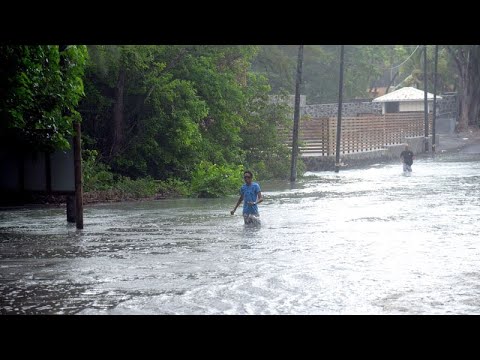
Humanitarian agencies have expressed concern as Freddy will likely exacerbate the previous flooding situation in the lowlands of Zambezia in the last few weeks. A surge in flooding is worrying the health and disaster agencies of both Mozambique and Malawi who have been battling a surge of cholera cases in recent times. In a statement released this morning, Malawi Red Cross said it had “activated its early actions” and responses teams in southern Malawi in readiness for the cyclone.
Video shot for AP by Yur Girao Samuel
Find out more about AP Archive: http://www.aparchive.com/HowWeWork
Twitter: https://twitter.com/AP_Archive
Facebook: https://www.facebook.com/APArchives
Instagram: https://www.instagram.com/APNews/
You can license this story through AP Archive: http://www.aparchive.com/metadata/youtube/437eee2fc83e4808b6b783149de37160
Palavra-chave: meteorologia quelimane