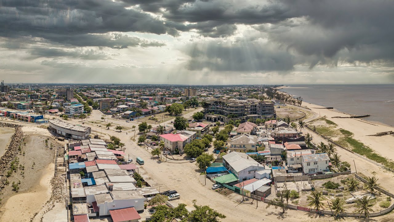
Cyclone FREDDY Makes Landfall Just NE Of Quelimane, Mozambique
Descrição
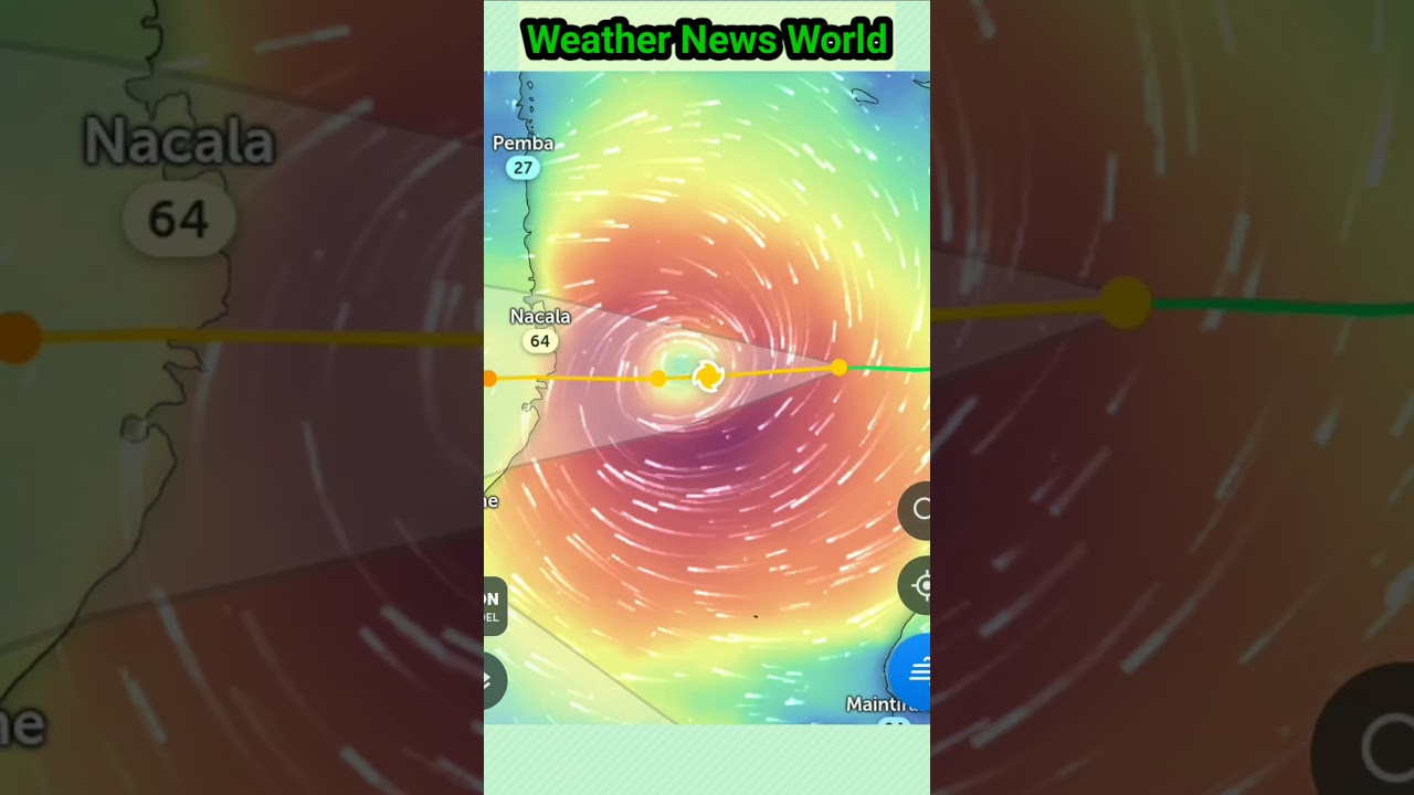
Cyclone FREDDY, the longest-living tropical cyclone on record (5 weeks and 1 day) and the storm with the highest Accumulated Cyclone Energy (ACE) value worldwide (82.2 units), has officially made its second Mozambique landfall, this time just NE of the city of Quelimane (pop. 350k), with max sustained winds of 105 mph and gusts up to Category 4 force at 130 mph, and a minimum central pressure of 963 mb. A few hours before landfall, the airport recorded sustained winds of 78 mph and a gust of 110 mph. Cyclone FREDDY is moving to the NW at around 1 to 2 knots, which is why the storm took so long to make landfall. From 1200 UTC on 10 March to 1200 UTC on 11 March, FREDDY rapidly intensified from 65 knots; 75 mph to 95 knots; 110 mph, which qualifies as rapid intensification. It should be noted that Cyclone FREDDY'S front eyewall started pounding the coast at around 2230 UTC (5:30 PM EST) on March 10, and the center of the eye officially made landfall at 1700 UTC (12 noon EST) on March 11. From the arrival of the eyewall to landfall, the center stayed offshore for 18 hours and 30 minutes, allowing FREDDY to still gain intensity even as the edge of the eye was coming ashore, beginning at around 1330 UTC (8:30 AM EST). The overall main threat is extremely heavy rainfall, with areas hundreds of miles inland expected to receive upwards of 8 to 12 inches, with isolated amounts of 18 inches. In areas where the eyewall is, additional totals of upwards of 24 inches are possible, on top of what has already fallen in the area. As we speak, this storm is causing serious storm surge damage, extreme flooding, and widespread extensive wind damage. The city of Quelimane, just to the SW of the landfall point, is getting swamped by the storm's max winds and storm surge, due to its location in the strongest corridor of the storm. FREDDY will gradually weaken as it moves inland, but some of the circulation remaining over water may slow down its weakening trend. In the couple of hours following landfall, the eye has started to fill in a little, which is indicating weakening in progress. Models predict different scenarios; some say FREDDY will die inland while making a U-turn back towards water, while others predict that the storm will survive its second trek over Mozambique.
Palavra-chave: meteorologia quelimane








![Mozambique: Cyclone Idai may have killed 1000 [Morning Call]](https://i.ytimg.com/vi/k0uCxITg_gM/hqdefault.jpg)